STARLINK-37795
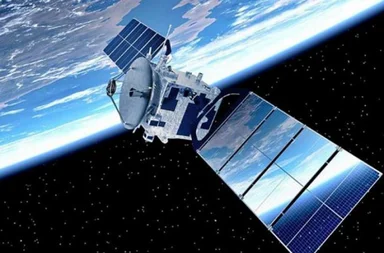
Willst du die Flugzeiten für die neueste Gruppe wirklich nicht überprüfen? Starlink G15-27?
Klicken Sie. hier, um die Abflugszeiten für die neueste Gruppe zu überprüfen.!
Die gesamte Gruppe kannst du auf unserer Seite verfolgen. Tracker Starlink G15-27.
Informationen über den Satelliten. STARLINK-37795
| Name im Katalog Spacetrack | STARLINK-37795 |
| Gruppe | Starlink G17-41 |
| Folge STARLINK-37795 | STARLINK-37795 Tracker |
| Folge der Gruppe. Starlink G17-41 | Tracker Starlink G17-41 |
| Flugzeiten STARLINK-37795 | Flugzeiten STARLINK-37795 |
| In die Umlaufbahn bringen |
 2026-05-30 (3 Monate vor)
|
| Tage im Orbit | 113 |
| Herkunftsland/-organisation | USA (US) |
| Wir analysieren den polnischen Text, der 'Miejsce startu' lautet. | AFWTR (Vandenberg Air Force Base, USA) |
| Kategorie | |
| Perygeum | 298 km |
| Apogäum | 300 km |
| Neigung der Umlaufbahn (Inklination) | 97.29° |
| Runden pro Tag | 15 |
| Orbit | LEO |
| Höhe STARLINK-37795 | 477.55 km |
Informationen über STARLINK-37795
STARLINK-37795, 69311 is a payload satellite owned by SpaceX/Seattle (US) in SSO that was launched on Sat, 30 May 2026 UTC via an FALCON 9 launch vehicle from the Air Force Western Test Range (AFWTR). Payload-class satellites include a variety of spacecraft equipped with specific instruments for various scientific and technological missions. These include communications satellites like Starlink; space stations such as the ISS; scientific satellites like the Hubble; Earth observation satellites from companies like Planet Labs, Umbra, and HawkEye 360; GPS; miniature CubeSats for education and research; and military/defense satellites.
der Satellit STARLINK-37795 hinausgetragen 30.05.2026r. Durchschnittshöhe STARLINK-37795 Text Nummer 1: das. 477.55 km. Durchschnittsgeschwindigkeit STARLINK-37795 beträgt 27462.13 km/h. Neigung STARLINK-37795 Satelliten 97.28°.Orbital Elemente
Durchschnittshöhe der Orbitalbahn. STARLINK-37795
Durchschnittsgeschwindigkeit STARLINK-37795
Durchschnitt STARLINK-37795
Mittlere Rektaszension des aufsteigenden Knotens (RAAN) STARLINK-37795
Mittleres Argument des Perigäums STARLINK-37795
Mittlere große Halbachse der Umlaufbahn STARLINK-37795
Mittlere Bahnexzentrizität STARLINK-37795
Internationale Raumstation
Kauf uns einen Kaffee!

