STARLINK-1080
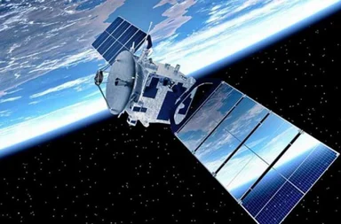
Willst du die Flugzeiten für die neueste Gruppe wirklich nicht überprüfen? Starlink G15-18?
Klicken Sie. hier, um die Abflugszeiten für die neueste Gruppe zu überprüfen.!
Die gesamte Gruppe kannst du auf unserer Seite verfolgen. Tracker Starlink G15-18.
Informationen über den Satelliten. STARLINK-1080 - STARLINK AZ
| Name im Katalog Spacetrack | STARLINK-1080 |
| Alternative Bezeichnung | STARLINK AZ |
| Gruppe | Starlink L2 |
| Folge STARLINK-1080 | STARLINK-1080 Tracker |
| Folge der Gruppe. Starlink L2 | Tracker Starlink L2 |
| Flugzeiten STARLINK-1080 | Flugzeiten STARLINK-1080 |
| In die Umlaufbahn bringen |
 2020-01-07 (6 vor Jahren) |
| Tage im Orbit | 2495 |
| Herkunftsland/-organisation | USA (US) |
| Wir analysieren den polnischen Text, der 'Miejsce startu' lautet. | AFETR (Kennedy Space Center/Cape Canaveral, USA) |
| Typ | Satellit |
| Kategorie | |
| Perygeum | 546 km |
| Apogäum | 548 km |
| Neigung der Umlaufbahn (Inklination) | 53.04° |
| Runden pro Tag | 16 |
| Orbit | LEO |
| Höhe STARLINK-1080 | 409.34 km |
Informationen über STARLINK-1080
The STARLINK-1080 satellite, also known as Starlink 1080 and designated 2020-001AZ, is part of the Starlink constellation managed by SpaceX (SPXS). Launched on January 7, 2020, from Cape Canaveral Air Force Stations LC40 using a Falcon 9 launch vehicle, it serves a communication mission. The satellite has dimensions of approximately 0.2 meters in length and 2.8 meters in diameter with a span of 9 meters. It weighs about 260 kg at launch and has a dry mass of 248 kg. Equipped with Ku/Ka-band payload technology (present in all satellites) and optical inter-satellite links (in prototypes), it uses solar arrays and batteries for power. The propulsion system consists of Krypton ion thrusters.
der Satellit STARLINK-1080 hinausgetragen 07.01.2020r. Durchschnittshöhe STARLINK-1080 Text Nummer 1: das. 409.34 km. Durchschnittsgeschwindigkeit STARLINK-1080 beträgt 27603.71 km/h. Neigung STARLINK-1080 Satelliten 53.05°.Orbital Elemente
Durchschnittshöhe der Orbitalbahn. STARLINK-1080
Durchschnittsgeschwindigkeit STARLINK-1080
Durchschnitt STARLINK-1080
Mittlere Rektaszension des aufsteigenden Knotens (RAAN) STARLINK-1080
Mittleres Argument des Perigäums STARLINK-1080
Mittlere große Halbachse der Umlaufbahn STARLINK-1080
Mittlere Bahnexzentrizität STARLINK-1080
Internationale Raumstation
Kauf uns einen Kaffee!


